Posts

Showing posts with the label Geography

What makes up South America?
Image
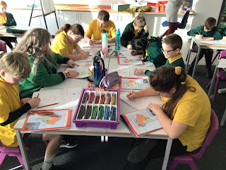
The first part of the lesson the children used an atlas to help them explain where South America is located. The children really thought about this and they shared their responses with the class.  Then, the children identified the 12 sovereign states of South America and the 2 non- sovereign states: Falkland Islands and French Guiana. Finally they identified where the capital cities are found and why Bolivia has two capital cities. 

South America

Image
 This term the children will be studying South America. Here is a copy of their journey.  During the first part of the lesson, the children recapped the different lines of latitude and longitude they have learnt throughout key stage 2. Then, they compared four different types of maps about South America: relief maps, political maps, tectonic plate maps and language maps.  Finally, the children used their knowledge of longitude and latitude as well as understanding that there is 15 degrees between each line of latitude on a map. Once this was understood, the children identified the latitude and longitude for different places on the world map. 

Assessment

Image
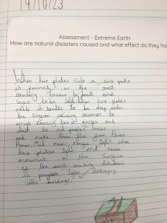
 This week, the children were given a question to answer’ How are natural disasters caused and what effect do they have?  There were some great discussions in the classrooms and everybody was able to discuss how the Tectonic Plates move and how this causes natural disasters, 

What is the difference between a hurricane, cyclone and tornado?

Image
 Actually, there is no difference between them except for where they appear.  Hurricanes  are tropical storms that form over the North Atlantic Ocean and Northeast Pacific. Cyclones  are formed over the South Pacific and Indian Ocean. Typhoons  are formed over the Northwest Pacific Ocean. If you want to find out more, use this link.  https://www.bbc.co.uk/newsround/24879162 Once the children had identified how these tropical storms formed and where, they then researched why the storms in the Northern Hemisphere rotate anti-clockwise and the storm in the Southern Hemisphere rotate clockwise. This led onto a practical activity where the children made storms in a bottle. 

What is a Tsunami and how is it formed?

Image
 A Tsunami is typically caused by large, undersea earthquake at tectonic plate boundaries. When the ocean floor at a plate boundary rises or falls suddenly, it displaces the water above it and launches the fast waves, which slow down as they reach the shore. They slow down but they then begin to grow taller and taller until they hit the land. Once the first wave hits the water might retract but there is always another wave behind this, waiting to do more damage.  This lesson introduced the Boxing Day tsunami of 2014 (the worst tsunami ever) and how it started and the effects it had on the people, countries, jobs, health and many other factors. 

What are the Earth’s layers?

Image
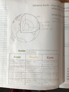
 This week the children identified the different layers of the Earth and what they are made of. They watched a clip so they could visually a representation of the inner and outer core. Then, they watched a short clip of the earthquake in Turkey to see how land and properties actually move from the vibrations and the devastating effects earthquakes have on both human and physical geography. Finally, the children reflected on how other children and people in the world suffer and need support from other countries.